
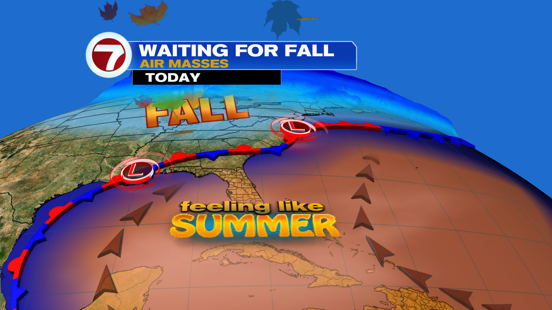
Nicer and especially brighter weather is ahead to wrap up the weekend as we begin the first full week of October!
While Saturday featured drier conditions — very welcome news for most I’m sure — Sunday will also be mostly — if not completely dry. The big difference is that we’re looking at a lot more sunshine Sunday with partly cloudy to mostly sunny skies forecast.
That paired with a breeze out of the southeast will drive high temperatures up and into the low 90s for most spots while feels-like temperatures top out in the low to mid 100s.

That onshore breeze will keep that rip current risk high at our east coast beaches, too, so keep that in mind if you have beach plans Sunday.
Going forward between now and midweek, rain chances do rise again and so will cloud coverage so soak up that sun while you can!
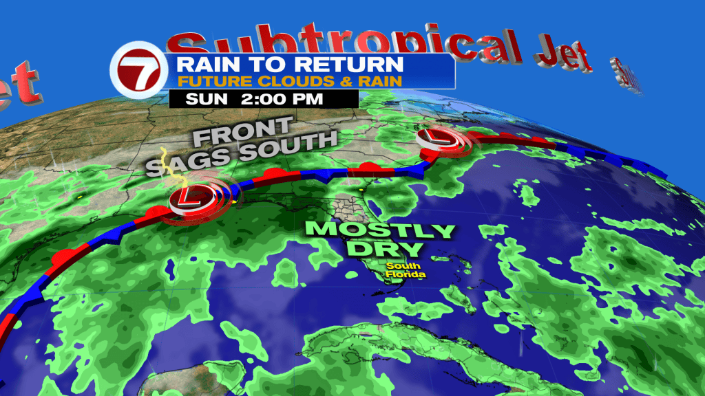
Monday will be a transition day as still many areas are looking dry, but scattered, inland, afternoon and evening showers and storms will be possible. Otherwise, it will still be hot with a blend of sun and clouds.
By Tuesday through Thursday, these will be our wettest days as a front stalls across northern and central Florida, trapping moisture across the state and triggering a westerly steering flow.
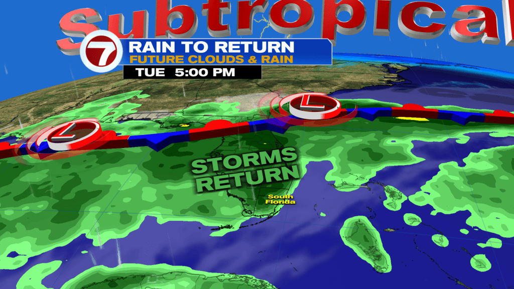
This setup will favor the daily likelihood for seeing a round or two of rain and thunderstorms, especially during the afternoon hours. Given recent heavy rainfall, especially in Broward, the risk for flooding will exist.
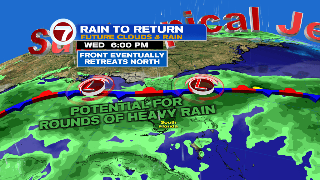
The highest of rainfall totals this week will be to our north where that front is located and thus the greater flood risk will be there.
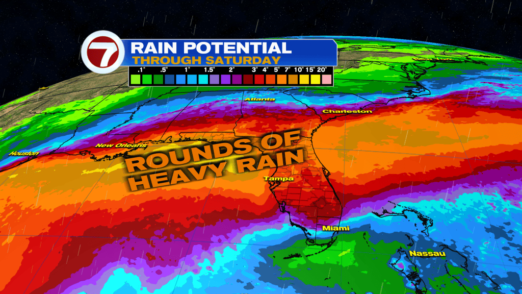
By the end of this week, that front will start to retreat more to the north, ushering in lower rain chances all while it stays not and humid, making South Florida wait for fall.
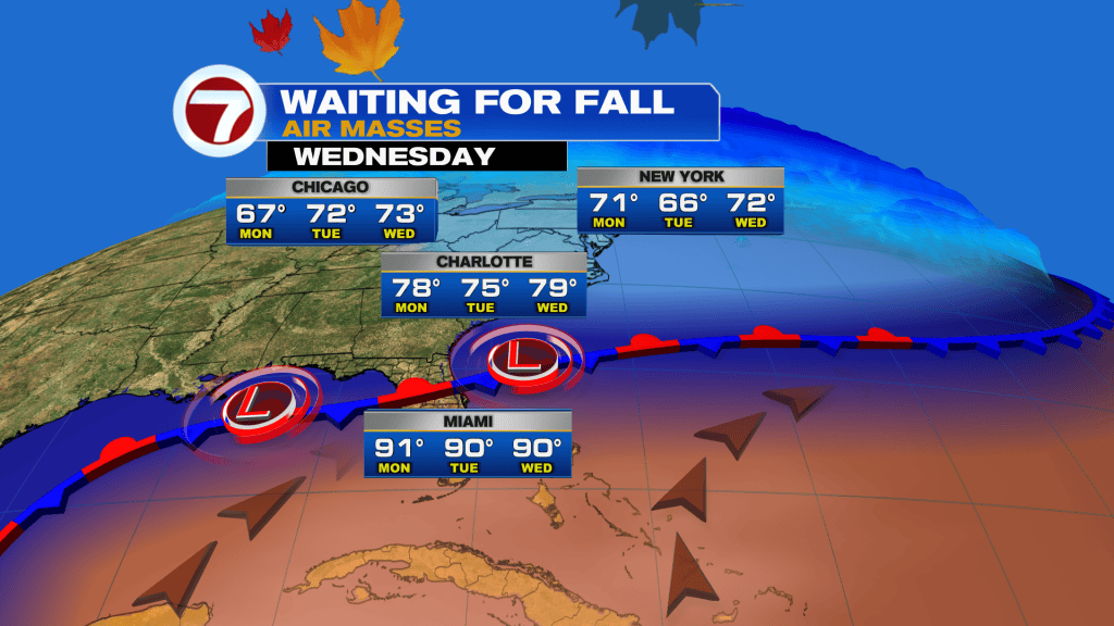
A broad area of low pressure may form over the southwestern Gulf later this week and there is currently a 30% chance it takes on tropical development. Something to just monitor at this time for areas surrounding the Gulf.


